There was snow on the ground this morning in Cedar City, but it was in the upper 30's and slowly melting. I called the Bryce Canyon visitor center to ask what the road conditions there were, and they said there was no ice on their roads, but the temperature was forecasted to range between 22 and 39 degrees (F). So I decided to head towards the park and play it by ear.
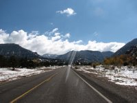
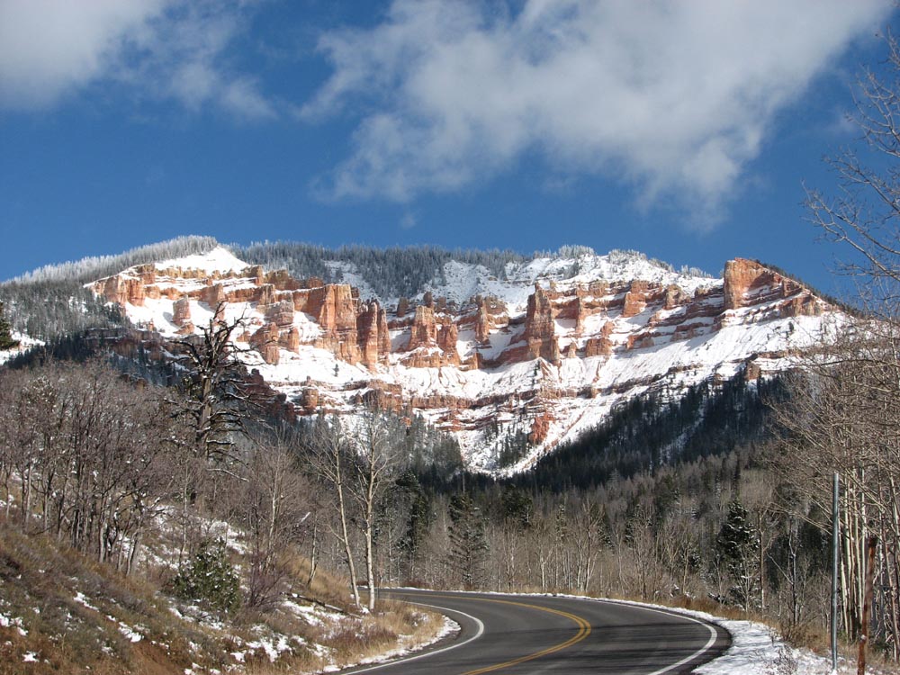
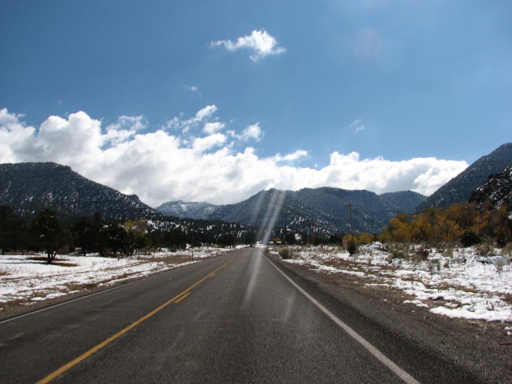
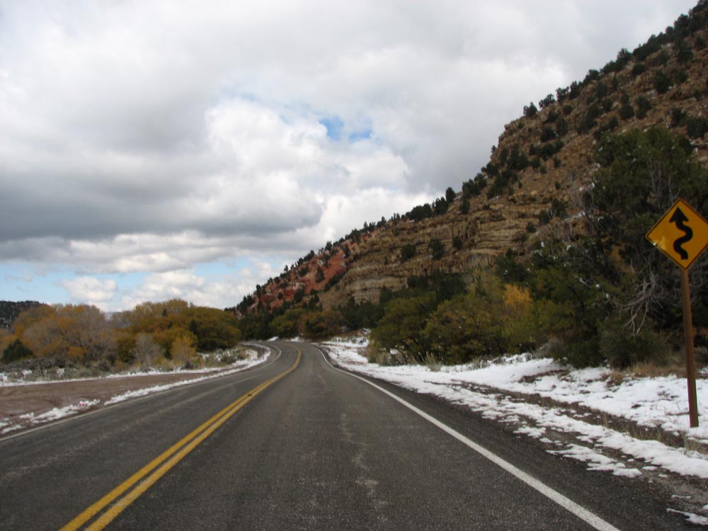
The direct route was I-15 to UT-14 to UT-89, but I couldn't figure out where the 14 exit was. So I got off at 143 instead, a smaller road which also leads to 89, which started winding up through snowy mountains, from a starting elevation of 5000+ feet. There was snow along the side of the road, but the temperature was above freezing and the road itself was clear. Signs warning that snow tires might be necessary were posted but the lights indicating that they were required were not flashing, so I kept going.
I rode very slowly, in case I suddenly hit an ice patch. For a change, when I saw "Sharp curve, 15 MPH" signs, I was happy to downshift and oblige. I probably went 15 miles, up at least another 1000 feet in elevation. My fingertips were numb, the engine was running weakly and the inside of my faceshield was fogging up. But the road was still passable so I kept going.
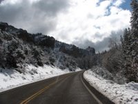
Then I reached a section where the whole road was covered in slush for several yards. My back tire (already worn down from so many miles) started slipping and sliding out. I pulled out of the slide, straightened up and rode another ten feet or so as my mind accepted the reality that this road was impassable and I wasn't going to get to Bryce Canyon on this trip. Then I slowly turned around and headed back down. Back at the bottom is the town of Parowan, where I stopped at the public library to warm up.
(I asked the librarian at the library if she knew what the elevations were. Between 5000-6000 at the base in Parowan, 10000 at the peak. I didn't quite make it to the peak, but I probably got to 8000 or so before I had to turn back.)